Places
 bobstanton285 downloads
Create interactive maps with markers, tracks, overlays, image alignment, heatmaps, VaultQuery data, CSV and GPX imports, custom styling, charts, search, directions, and provider extensions.
- Overview
- Scorecard
- Updates1
Manage points of interest, GPX and GeoJSON data in Obsidian notes and visualize them on maps.
Try in a sandbox: https://sandbox.obsidian.stanton.dev/places/
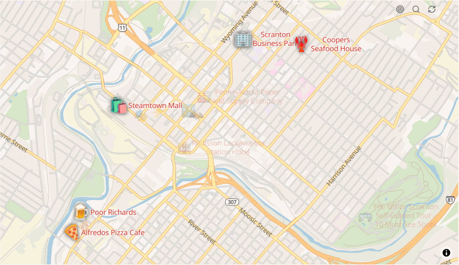
Places ecosystem
Rendering a map requires at least one plugin with the map capability.
| Plugin | Map | Search | Directions | Isochrones | Elevation | Snap | Track match |
|---|---|---|---|---|---|---|---|
| places-freeroute | yes | yes | yes | ||||
| places-geoapify | yes | yes | yes | yes | yes | yes | |
| places-leaflet | yes | ||||||
| places-mapbox | yes | yes | yes | yes | yes | yes | |
| places-maptiler | yes | yes | yes | ||||
| places-nominatim | yes | ||||||
| places-openfreemap | yes | ||||||
| places-openrouteservice | yes | yes | yes | yes | yes | ||
| places-radar | yes | yes | yes | ||||
| places-stadia | yes | yes | yes | yes | yes | yes | yes |
| places-thunderforest | yes | ||||||
| places-utilities | yes | ||||||
| places-environment |
Search covers geocoding and POI lookup. Elevation replaces missing or inaccurate elevation in a track. Snap corrects a track's geometry against the road or path network. Track match identifies the named ways a track follows, with the distance and the share of the track spent on each.
places-leaflet renders raster tiles; the other map providers render vector tiles.
places-environment supplies tide, solar, and weather data as charts, tables, templates, and
map data. places-utilities adds track classification, naming, playback, and editing.
Network requests
| Area | Request |
|---|---|
| Vector tile overlay source | Loads the TileJSON describing the tile source |
| Image overlay | Fetches the image and inlines it as a data URL |
| GPX, GeoJSON, CSV, or polyline overlay | Fetches the overlay content |
Background tasks
| Task | Schedule | Purpose |
|---|---|---|
| Map restore check | Every 2 seconds | Restores map surfaces that lost their WebGL context |
| Frequency analysis worker | While a heatmap block renders | Runs heatmap overlap analysis in a Web Worker, off the main thread |
| Query parameter playback | While a parameter is playing | Advances an animated query parameter at the interval the parameter defines |
Dependencies
| Library | Purpose |
|---|---|
| Chart.js | Elevation, speed, and pace charts |
| fastest-levenshtein | String distance for track similarity and name matching |
| obsidian-debug-logger | Scoped logging, gated behind the developer mode setting |
| placeholder-resolver | Resolves placeholders in label and note templates |
| places-shared | Shared map, overlay, routing, and utility code |
| zstd-wasm | Zstandard compression for overlay data stored in frontmatter |
Optional integrations
Resolved at runtime from the installed plugin.
| Plugin | Purpose |
|---|---|
| VaultQuery | SQL queries over vault notes as a map data source |
| Dataview | Dataview queries as a map data source |